
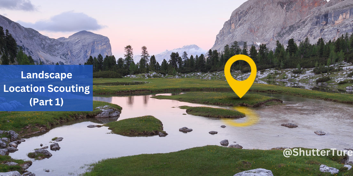
Landscape location scouting is quite important. So you’re traveling to a completely new place and don’t know what to photograph there, or how the weather will be. At least you need some basic information of the desired area, like where the sun sets and what landscape to expect on location.
In this quick tutorial, I give you tips on how I do location scouting.
Landscape location scouting on Google Maps
On the bottom right of your browser, there is this little arrow, which will reveal the explore tab from the bottom. Hovering over these pictures, a line will point to a location where that exact picture was taken. It is not always accurate, though, that is why I use different services to make sure I exclude possible mistakes.
500px
I simply search for a location and see what the results are. If we are lucky enough, the location is included in the details of the picture, like so. In its little map window we can zoom in and out to define exactly where we are, although not every user shares the location info. Still, pretty useful stuff!

They’re not mentioning this, but on the URL below you can reach a map site of 500px, where you can browse images by location.
Clicking on the thumbnails will show more data and with another click, you can go to the picture’s subpage to gather even more information.

Google Earth
With this service, basically, you have an ability to fly over any location on Earth and discover it in 3D. I use it a lot because it is so much easier to explore a specific area.

Suncalc
If you gathered all the information you need about an area, lastly you might want to check the Sun’s orientations. On suncalc.net you can predict the time of the following: dawn, sunrise, sunset, dusk. You can set a specific location and date to check where the sun rises and where it sets.

To be continued in Part 2! If you have anything to add or have questions about the mentioned tools, please comment!